Madagascar Lemur SDM
Overview
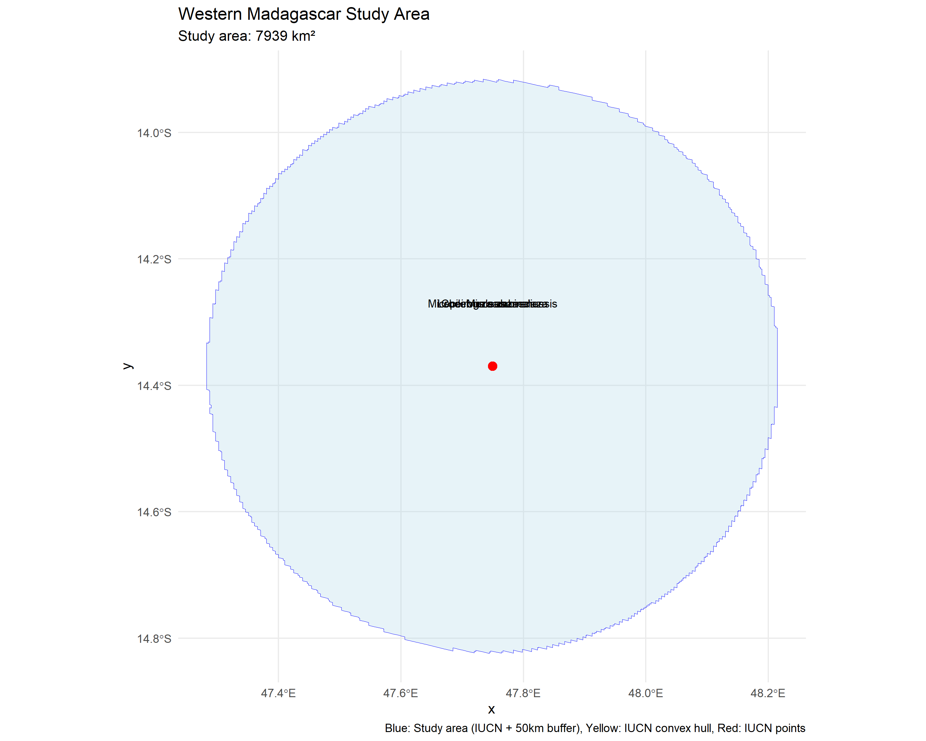
Species Distribution Modeling (SDM) for five lemur species in Madagascar, combining cutting-edge AlphaEarth satellite embeddings with traditional bioclimatic predictors. The project evaluates habitat suitability across Madagascar-wide extents and within two protected areas: the Mandena Conservation Zone and Sahamalaza-Iles Radama National Park.
Study Area: Madagascar (island-wide) · Mandena Conservation Zone (~2×2 km) · Sahamalaza-Iles Radama NP
Species: Hapalemur meridionalis, Cheirogaleus medius, Lepilemur sahamalaza, Microcebus sambiranensis, Mirza zaza
Role: Solo project
Status: Analysis complete
Repository: github.com/ulfboge/movement_ecology
Methods & Tools
Data Sources
- AlphaEarth Embeddings (A00–A63, 2017–2024, 10–100 m) — satellite-derived feature embeddings
- SRTM — elevation, slope, aspect
- WorldClim BIO (bio01–bio19) — bioclimatic variables
- GBIF / field occurrence records — species presence points
Processing Steps
- Compile species occurrence records with spatial filtering
- Extract predictor values at occurrence and background points
- Run ensemble SDM with LASSO regularization and Random Forest
- Compare performance: traditional bioclimatic vs. AlphaEarth embeddings
- Project habitat suitability maps for both study areas
Tools Used
| Tool | Purpose |
|---|---|
| R — biomod2 | Ensemble SDM modeling |
| R — sf, terra | Spatial data handling |
| Python | AlphaEarth data preprocessing |
| QGIS | Map production and validation |
Key Findings
- Evaluated the contribution of all 64 AlphaEarth embedding dimensions as predictors
- AlphaEarth embeddings improved model performance compared to bioclimate-only baselines
- Produced habitat suitability maps for both species and study areas
- Comparative analysis across Mandena and Sahamalaza datasets