Maps Portfolio
Overview
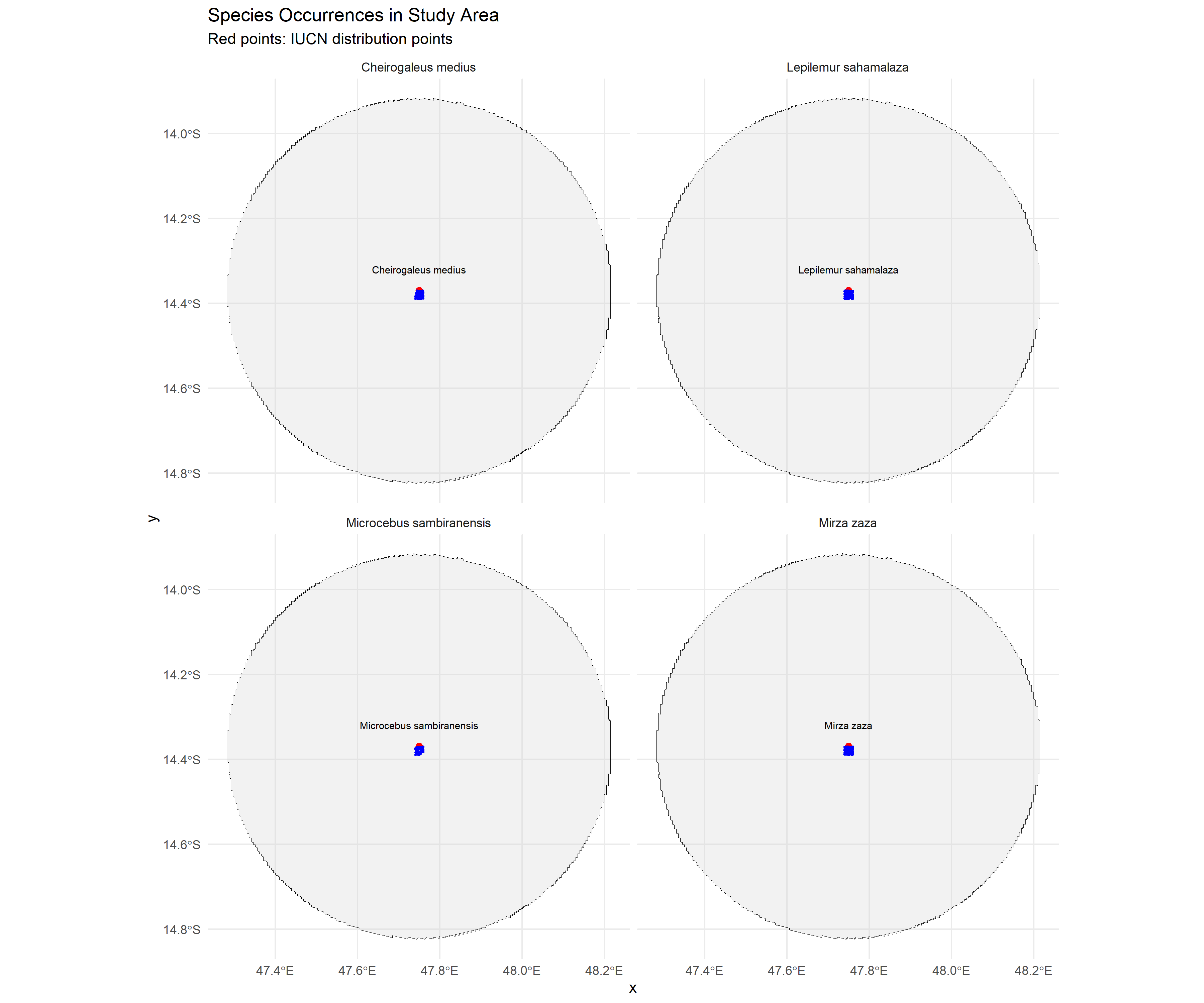
A curated collection of biodiversity maps visualizing species distribution data for two iconic taxa: galagos in Tanzania and lemurs in Madagascar. Maps are produced in QGIS from GBIF occurrence data and published as both static print-quality outputs and interactive web maps via GitHub Pages.
Study Areas: Tanzania (galagos) · Madagascar (lemurs)
Role: Solo project
Status: Live
Live site: ulfboge.github.io/maps-portfolio
Repository: github.com/ulfboge/maps-portfolio
Methods & Tools
Data Sources
- GBIF — species occurrence records (galagos, lemurs)
- Natural Earth — country boundaries and physical features
- SRTM — elevation for background shading
Processing Steps
- Download and clean occurrence records from GBIF
- Spatial filtering: remove records without coordinates or outside plausible range
- Produce print-quality maps in QGIS (A4/A3 layouts)
- Export interactive maps via Leaflet.js for web publication
Tools Used
| Tool | Purpose |
|---|---|
| QGIS | Map design and layout |
| Python / pandas | GBIF data cleaning |
| Leaflet.js | Interactive web map |